
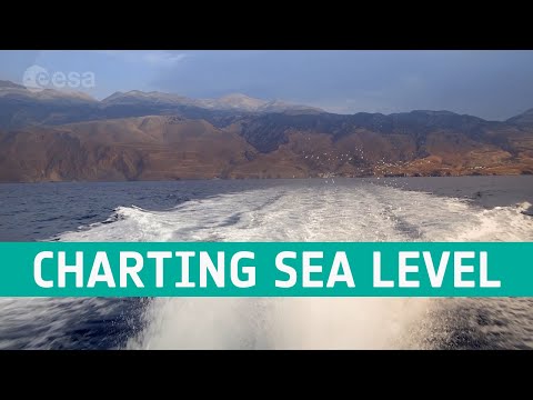
Copernicus Sentinel-6 measuring sea levels using radar altimetry
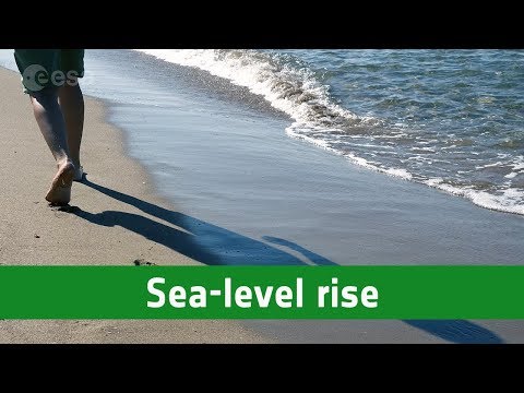
This November the newest member of the EU’s Copernicus programme, Sentinel-6 Michael Freilich, will take to the heavens from Vandenberg Air Force Base in California. The satellite is named after NASA’s former Director of Earth Observation and is a radar altimetry mission to monitor sea-level rise, wave-height and windspeed.
The mission is a collaboration between ESA, the European Commission, EUMETSAT, NASA and NOAA, with support from the French space agency CNES. It will continue a three-decade-long time-series of radar altimetry missions that started with the Topex-Poseidon mission and was then followed by the Jason missions.
★ Subscribe: http://bit.ly/ESAsubscribe and click twice on the bell button to receive our notifications.
Check out our full video catalog: http://bit.ly/SpaceInVideos
Follow us on Twitter: http://bit.ly/ESAonTwitter
On Facebook: http://bit.ly/ESAonFacebook
On Instagram: http://bit.ly/ESAonInstagram
On Flickr: http://bit.ly/ESAonFlickr
We are Europe’s gateway to space. Our mission is to shape the development of Europe’s space capability and ensure that investment in space continues to deliver benefits to the citizens of Europe and the world. Check out https://www.esa.int/ to get up to speed on everything space related.
Copyright information about our videos is available here: https://www.esa.int/ESA_Multimedia/Terms_and_Conditions
#ESA
#Sentinel6
#SeeingTheSeas

Interesting video, thanks.
Flying log cabin for the win!